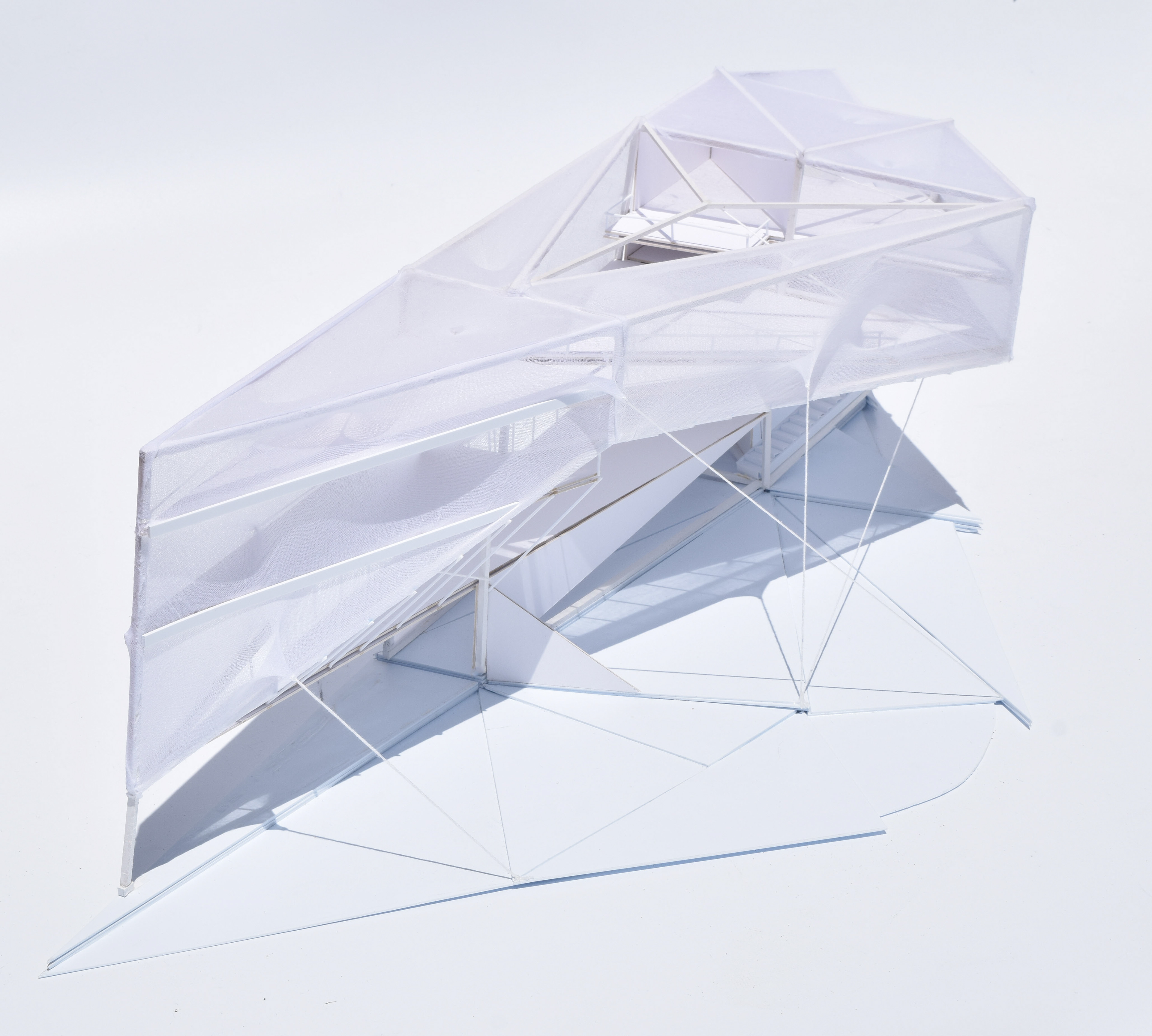
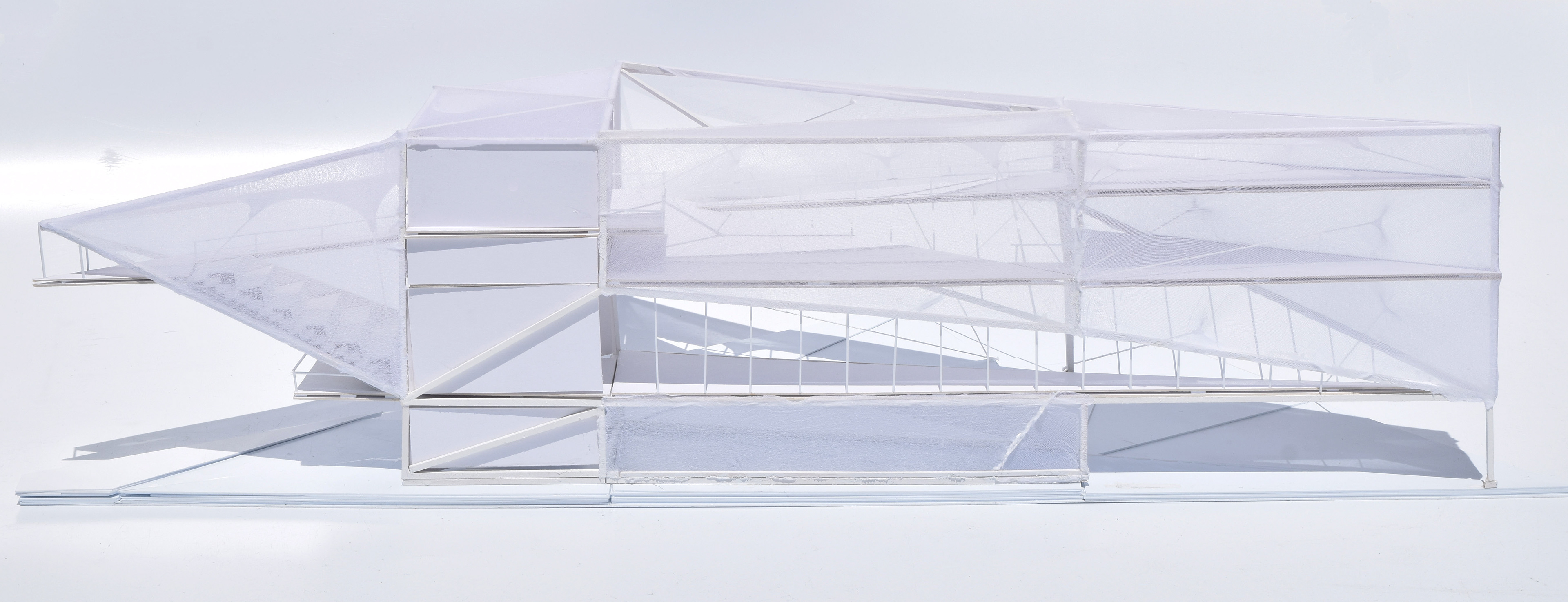
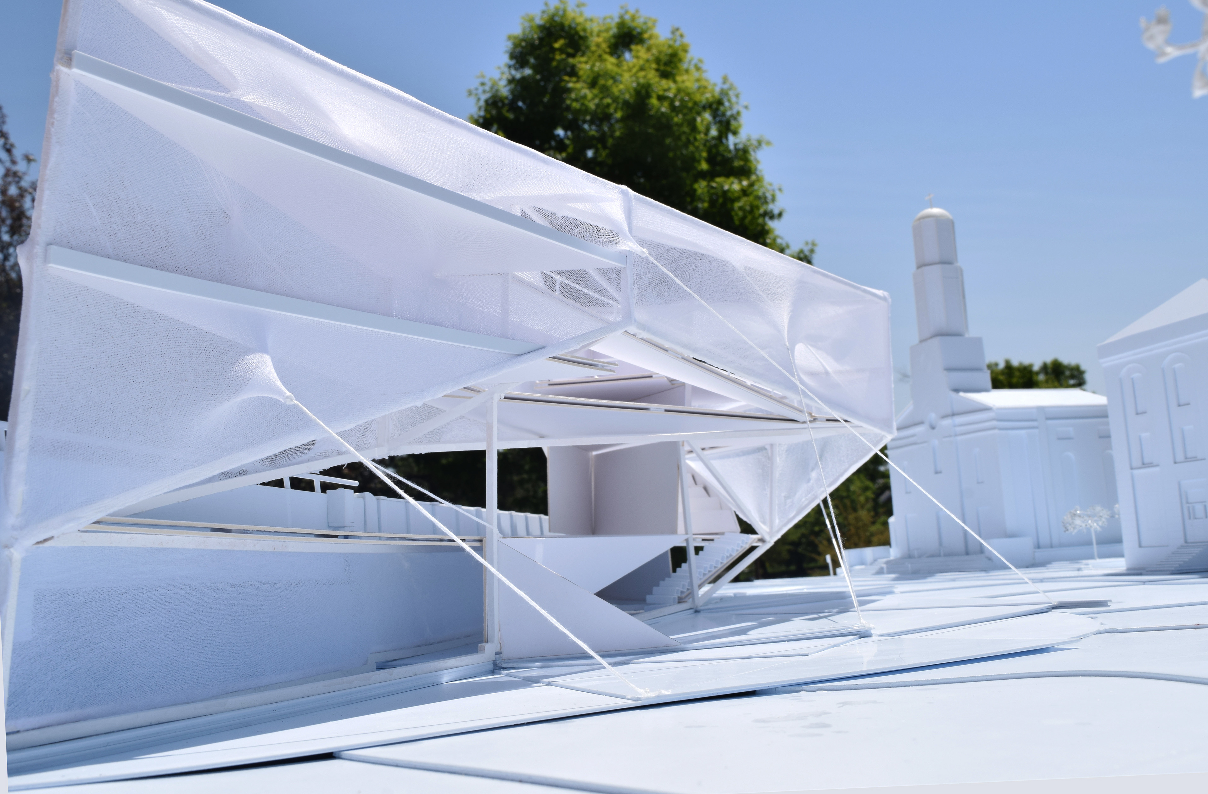
Geodesy Library is a communal space designed to house geodesic data, conduct research, and provide educational opportunities for the public. Geodesy is the science of measuring and understanding the geometric shape of Earth by mapping global coordinates. The library’s form is inspired by the manual techniques used to measure distances between geodesic datum points.


